We made it just north of Manistee before we got hungry. Hubbell's Restaurant and Bait Shop was the next local restaurant we came to so we stopped. It looks like an old house converted into a restaurant. The sign made us all laugh, but the food was good, and the service was good.

After breakfast we resumed our trek north. Once in Leland we ran into a little traffic trying to off load our gear near the boat dock. They were doing construction on the parking lot across from the dock and the less than helpful construction workers were clogging traffic. I jumped out to get our tickets and Chrissy moved the car to unload our gear. Once I had the tickets in hand I jumped in the passenger seat and Chrissy drove to the parking area. This would be the last time any of us remember seeing the car key, but more on that later.
We took the shuttle back to the dock and met up with Mac and Renee. A last minute group photo before boarding the boat and we were all set to go. We found seats on the upper deck of the boat for the ride over. We could see the Island from the dock so there was a stir of excitement in the group as we waited for departure.

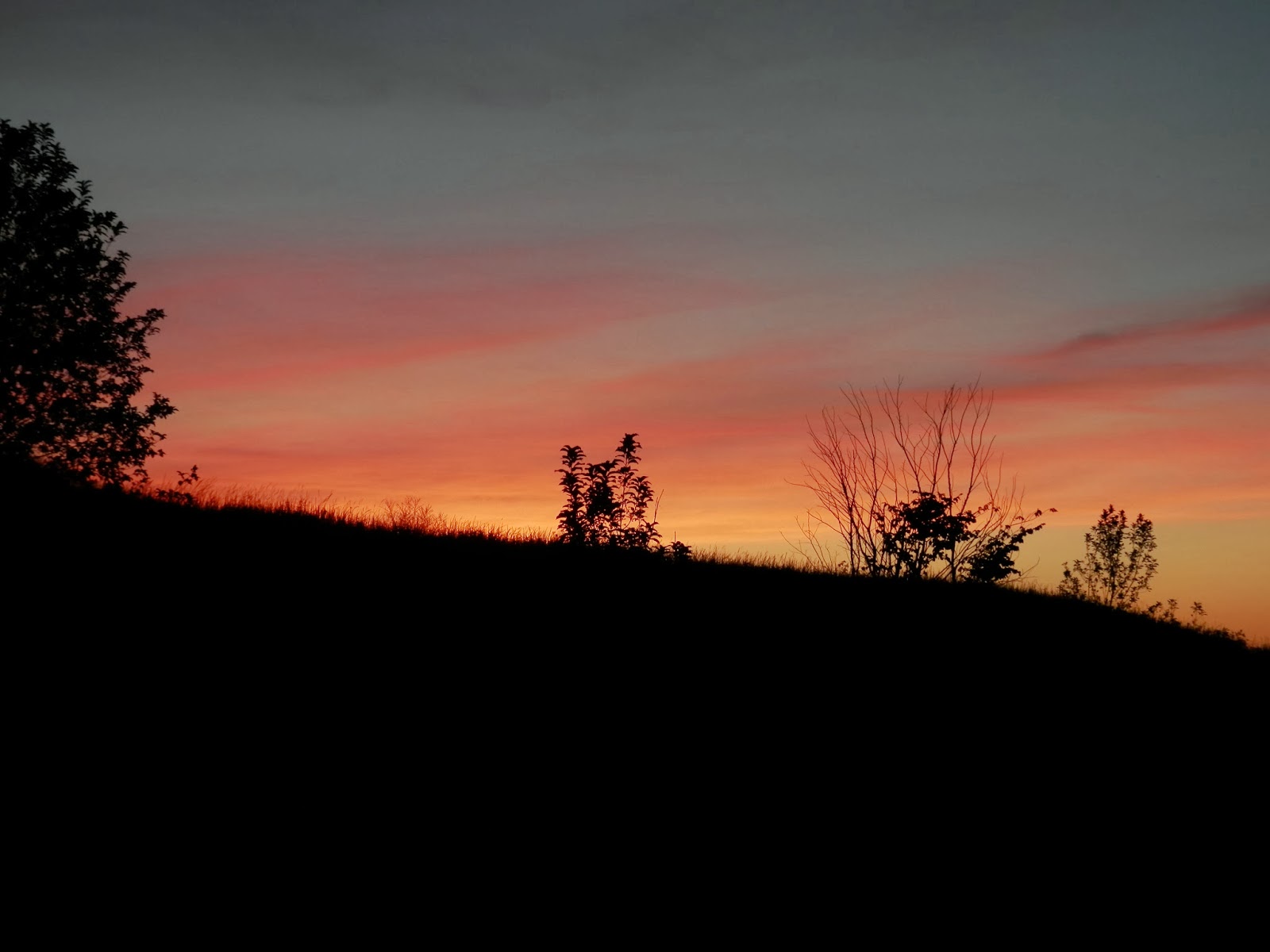
The trip to the island was uneventful. Once at the island we quickly unloaded the boat and walked to the ranger station to register. We waited for an eternity for the National Parks Ranger to come out to give his briefing speech about ticks, fires, leaving no trace, and poison ivy. After his speech we filled our water bottles and headed north on the path that takes you near the Village campground. We stayed on the outermost trail and took a snack break near Paul Maleski Place. I was finally able to start relaxing, I was on the island and we had a couple miles under our belts.
 |
| Outermost Trail heading North From the Village |
We reshouldered our packs and starting hiking again. I was a little disappointed when we crossed the pole bridge, it was just a bridge over a swampy area of the trail. Further research upon returning home indicates that there used to be a pole bridge in this location, now it's a much simpler bridge covering the outlet of the large swampy area to the south of the bridge.
 | |
| Swamp near the "Pole Bridge" |
A short distance past the bridge we came to the Stormer Camp and all of the beautiful old trucks! This was a shock to me because for some reason I had thought this was on the southern half of the island and we wouldn't get to see it on this trip. We stopped for lunch after taking several pictures of the trucks.
 |
| Old Trucks at Stormer Camp |
After lunch we continued on the trail. The trail was well maintained, and began to rise along an old rail bed as we headed west. Just after the trail starts to turn south there are two large stones on the south side of the trail, near there is a unmarked trail that heads north to the Pot Holes, which were to be our destination for the day. The trail goes from a single track, unmaintained trail, to a narrow trail similar to a game trail, to bush whacking. We eventually made it to the potholes, but they weren't what I was expecting. There was no place to camp in the area we were in, and the rocky dunes I had had seen in pictures were actually densely wooded steep hills. We continued along the ridgeline until we found a place that we could decend to the lake shore. I wouldn't recommend bushwacking in the area, it was rough and slow going.
 |
| The Potholes, but not as I expected them. |

Along the way we saw several deer an coyote tracks, but never saw any animals.
 |
| Where the deer and coyote play. |
Our post trip estimatation puts today's mileage at around 9 miles, about 4 more than we'd planned on.