Pages

Sunday, July 1, 2012

North Manitou Island - Day 3


Day 3, our final full day on North Manitou Island. After breakfast, morning routines, and of course a swim, we sat around camp discussing a plan for the day. Mac suggested we take the trail north to the Village to fill our water bottles and explore a little. We all quickly agreed and proceeded to get all of our water bottles together and head north.

The trail isn't as well maintained as the main trail, but it was still a decent trail. The trail exits the woods at the south end of cottage row. We passed by several cottages in various states of disrepair. A couple were in decent shape, however most had started to show the signs of time.


After filling our water bottles, the ladies enjoyed using real toilets before we turned to head back. Mac had stopped to speak with the ranger, who seemed like a decent guy. He had been working on the Island for several years and really liked being there.

We resumed our journey back to camp, stopping along the way to take pictures of the cottages, and peek in a few windows of the older ones.

Where the Sidewalk Ends

Once back at camp it was Mac and Renee's turn to take naps so Chrissy and I decided to explore more of the east side of the island. We followed the trail south until it met up with the main trail.

The trail was nice, skirting a decent sized hill and exiting the forest into a completely different landscape. You leave the hard wood forests and end up on rolling sandy hills. The trail splits and heads east and south. We followed the easterly trail first and were treated to a great view of Lake Michigan and the mainland.

The sandy beach and blue water were beautiful! We backtracked and continued south, eventually arriving at the cemetery. There were several grave markers from decades ago and one from only a few years ago. I wondered what their attachment to the island was.


We continued down the trail, which looked more like an overgrown two track road. We unexpectedly found our self at Bourniques. The old homestead looked like it had been neglected for several years, but some newer looking timbers indicated that somebody had tried to stabilize the home to prevent further damage.


The outhouse still stood behind the house, however biting red ants protected it from too much inspection. The barn had long since fallen and was laying in ruins. We followed the trail behind the house hoping it would lead back to the main trail, but after several minutes we decided to head back the way we had come. Since we had only planned on taking a short walk, we didn't bring any extra provisions or water. The day was hot, the water quickly disappeared, and a swim was starting to sound good.

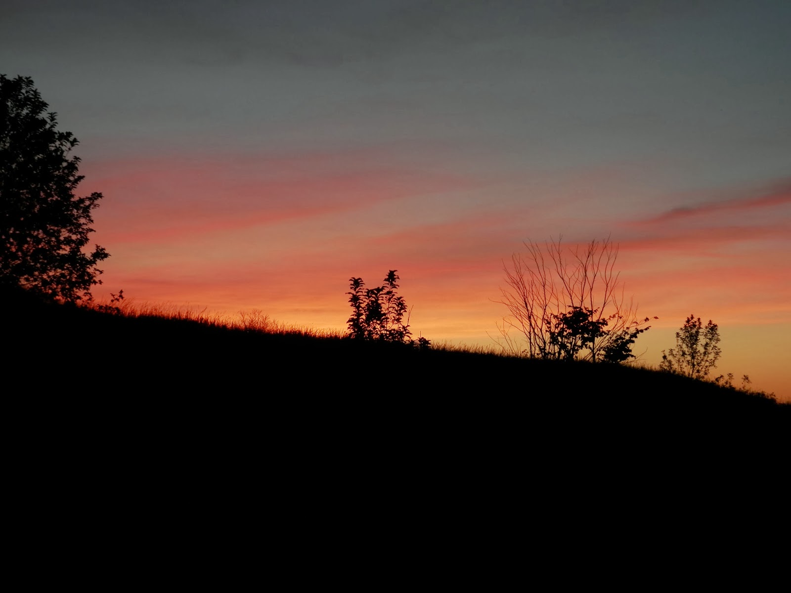
We followed the trail back to camp and made lunch before going swimming. We leisurely passed time until sunset where we went back down to the beach to enjoy one last night on the island.

On the mainland we could see three separate fireworks shows in honor of Independence Day. After the food was consumed and the dishes were done we headed to our tents for one last night under the stars. Homeward bound tomorrow.

Estimated distance traveled: 6 miles

Saturday, June 30, 2012

North Manitou Island - Day 2

I don't wear a watch when I'm out in the woods, so I'm not sure when we all woke up, but the sun was already shining brightly and it was starting to get hot. We had covered more distance yesterday than I had planned, so we had an option to cross the island and camp on the east side a day early.

After breakfast we headed out to find The Old Grade trail which runs north and south on the west side of the island. Once located we turned southward toward Swenson's Barn. We easily found the trail to the Barn, took off our packs, and followed the short trail to the barn. The trail breaks out of the woods into a clearing with a great view of the barn.


As we approached the barn we found several short berry bushes near the barn, but their fruit wasn't ripe yet. We took several pictures and explored the area before heading back to our packs.


Once we had our packs back on we continued south on the trail until it meets the Centerline Trail, which bisects the island, where we turned left at the sign post and headed to the east side of the island. I wanted to see if we could find Tamarack Lake, so we kept an eye out for trails leading to the lake but were unsuccessful in finding any, as far as I know the trails to the lake aren't marked. The NPS officer at registration said that it was hard to find, and most likely had an extremely low water level. Another item on my list of things to find next time.

Once on the east side of the island there is a trail that continues past the intersection with the main trail and leads to a lesser used trail that runs parrallel to Lake Michigan. Just north of this intersection, and east of the secondary trail we found an ideal spot for a campsite. We double checked to make sure it was legal and then set up camp. This site was so nice that we kept it as our campsite for the remaining two nights of our trip.


Once camp was set up we went down to the beach for a swim. The cold water was refreshing, however the bottom was rocky as opposed to the sandy bottom we had experieced on the west side. Once we cooled off we filtered water and returned to camp for lunch. Intending to read for a while, Chrissy and I went to our tent and laid down only to fall asleep for a well earned nap.

After waking we went down to the beach to enjoy the view. We met up with Mac and Renee for dinner and conversation. I had stowed a flask of Leelanau Celler's Great Lakes Red in my pack in honor of Renee's birthday. We poured the wine in our cups, toasted Renee on her repeated 20th birthday and watched the sky change as the sunset.

After sunset we made our way to our tents and quickly fell asleep. Sadly, only one day left on the Island.

Estimated mileage for today: 4 1/2 miles.

Friday, June 29, 2012

North Manitou Island - Day 1

The plan was for Mac and Renee to arrive at my house at 4:00 am, put their gear in my car and head north to Leland, MI to board the ferry and head to the Island to start our adventure. My phone rang at 4:01 and I rolled over to answer it. "Where are you?" Mac asked, "I'm at home, where are you?" was my not quite awake response. "I'm sitting in your driveway..." damn it, I forgot to turn on my alarm clock. "Give us 20 minutes and we'll be ready". Well this is a great start to the day. Chrissy and I got up, showered, and were ready in less than 20 minutes. We weighed our packs in the driveway, stuffed them in my car, turned on the GPS, and pointed the car north. The much anticipated trip was here, and the wheels were rolling.

We made it just north of Manistee before we got hungry. Hubbell's Restaurant and Bait Shop was the next local restaurant we came to so we stopped. It looks like an old house converted into a restaurant. The sign made us all laugh, but the food was good, and the service was good.


After breakfast we resumed our trek north. Once in Leland we ran into a little traffic trying to off load our gear near the boat dock. They were doing construction on the parking lot across from the dock and the less than helpful construction workers were clogging traffic. I jumped out to get our tickets and Chrissy moved the car to unload our gear. Once I had the tickets in hand I jumped in the passenger seat and Chrissy drove to the parking area. This would be the last time any of us remember seeing the car key, but more on that later.

We took the shuttle back to the dock and met up with Mac and Renee. A last minute group photo before boarding the boat and we were all set to go. We found seats on the upper deck of the boat for the ride over. We could see the Island from the dock so there was a stir of excitement in the group as we waited for departure.


The trip to the island was uneventful. Once at the island we quickly unloaded the boat and walked to the ranger station to register. We waited for an eternity for the National Parks Ranger to come out to give his briefing speech about ticks, fires, leaving no trace, and poison ivy. After his speech we filled our water bottles and headed north on the path that takes you near the Village campground. We stayed on the outermost trail and took a snack break near Paul Maleski Place. I was finally able to start relaxing, I was on the island and we had a couple miles under our belts.


Outermost Trail heading North From the Village

We reshouldered our packs and starting hiking again. I was a little disappointed when we crossed the pole bridge, it was just a bridge over a swampy area of the trail. Further research upon returning home indicates that there used to be a pole bridge in this location, now it's a much simpler bridge covering the outlet of the large swampy area to the south of the bridge.

Swamp near  the "Pole Bridge"

A short distance past the bridge we came to the Stormer Camp and all of the beautiful old trucks! This was a shock to me because for some reason I had thought this was on the southern half of the island and we wouldn't get to see it on this trip. We stopped for lunch after taking several pictures of the trucks.

Old Trucks at Stormer Camp

After lunch we continued on the trail. The trail was well maintained, and began to rise along an old rail bed as we headed west. Just after the trail starts to turn south there are two large stones on the south side of the trail, near there is a unmarked trail that heads north to the Pot Holes, which were to be our destination for the day. The trail goes from a single track, unmaintained trail, to a narrow trail similar to a game trail, to bush whacking. We eventually made it to the potholes, but they weren't what I was expecting. There was no place to camp in the area we were in, and the rocky dunes I had had seen in pictures were actually densely wooded steep hills. We continued along the ridgeline until we found a place that we could decend to the lake shore. I wouldn't recommend bushwacking in the area, it was rough and slow going.

The Potholes, but not as I expected them.
We exited the dense forest and were treated to an amazing view from the bluff above the beach. We made quick work of getting down to the shoreline and cooling our feet in the water. However, this presented a new problem. You can't camp within 300 feet of the high water mark of Lake Michigan, so we hiked south to find a good place to set up camp.


 Along the way we saw several deer an coyote tracks, but never saw any animals.

Where the deer and coyote play.
We eventually made it to the lower dunes near the Crescent dock on the west side of the island and set up camp the appropriate distance away from trail and water. After we set up camp, we filtered water, made dinner and went swimming in the chilly water. Chrissy got some great sunset shots before we all climbed in our tents for the evening.


Our post trip estimatation puts today's mileage at around 9 miles, about 4 more than we'd planned on.